Germany Relief Map
Map of Germany > Germany Locator Map • Germany Travel Tips • Germany Relief Map
 To print this map, click on the map. After map loads, press Ctrl+P.
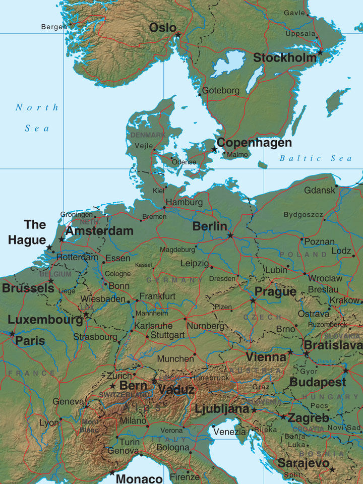
 A lowland plain that makes up about one-third of Germany is located in
the country's northern region. This area, which is part of the
North European Plain, is so vast that it extends all the way to
Russia. Made up of pasture, croplands, heaths, and marshland, this
area is also home to the Elbe River and its tributaries.
A lowland plain that makes up about one-third of Germany is located in
the country's northern region. This area, which is part of the
North European Plain, is so vast that it extends all the way to
Russia. Made up of pasture, croplands, heaths, and marshland, this
area is also home to the Elbe River and its tributaries.
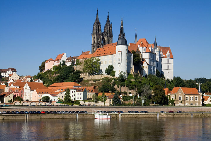
 The central region of Germany is a highland area comprised of heavily
wooded forests and hills that span from France to the Carpathians.
The Harz Mountains, the highest peaks in this area, are located in the
northern part of the central uplands. The valleys in the north are
fertile, and are home to crops such as sugar beets, potatoes, wheat, and
barley. Vineyards, as well as the fields that cultivate hops used
in German beer, are also common here.
The central region of Germany is a highland area comprised of heavily
wooded forests and hills that span from France to the Carpathians.
The Harz Mountains, the highest peaks in this area, are located in the
northern part of the central uplands. The valleys in the north are
fertile, and are home to crops such as sugar beets, potatoes, wheat, and
barley. Vineyards, as well as the fields that cultivate hops used
in German beer, are also common here.
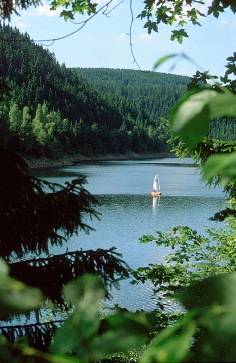
The southern part of Germany is known for its forests and mountains. The Rhine River flows through this region, just east of the Black Forest, a heavily wooded mountainous area that separates Germany from France along its southwestern border. In the southeast, the Danube Valley, the Bavarian Plateau, and finally the Alps, separate Germany from Austria.
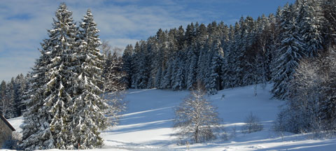 Snow-covered Evergreen Trees - Black Forest, Germany